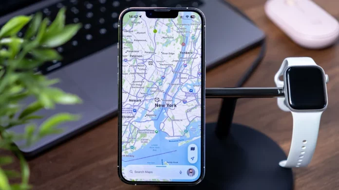
Google Maps dominates the navigation app market, but if you’ve encountered traffic jams despite its promises or lost signal when you needed directions, you know it’s not perfect. You might need real-time updates on hazards and traffic events or want offline maps that function without internet. Perhaps your navigation needs include backcountry hiking, public transit, or RV travel, where a one-size-fits-all app just won’t cut it.
If this sounds familiar, here’s a curated list of navigation apps that address common Google Maps frustrations. These apps have been tested and reviewed by real users. While you could use ChatGPT for navigation, these eight apps meet unique needs without making you miss Google Maps. Whether you want detailed real-time traffic updates or reliable offline navigation, one of these options will suit your specific requirements.
Waze leverages crowdsourced traffic intelligence by relying on users to report accidents, hazards, police presence, and other road conditions in real time. Unlike Google Maps’ generic colored traffic lines, Waze specifies exact locations of problems, their durations, and how nearby drivers respond. Its reputation-based system filters false reports, and emergency dispatchers have found Waze’s user-generated incident data more accurate than traditional 911 mapping. It also excels with features like calendar integration for departure times, real-time toll and gas price comparisons, and learns commute patterns over time.
MAPS.ME addresses travelers’ biggest concern: losing signal. It offers downloadable offline maps worldwide with small file sizes, supporting full turn-by-turn navigation, offline search for restaurants and hotels, and integrated travel guides. Sourced from the community-maintained OpenStreetMap, the data stays fresh and accurate. The app notifies you about selected road hazards and lets you avoid specific road types, making it perfect for rural areas, national parks, or avoiding roaming charges.
OsmAnd is a versatile app tailored for hikers, off-road drivers, and backcountry explorers. It offers 12 routing profiles optimized for different modes like driving, cycling, skiing, and even horseback riding. Advanced features include ski route planning, mountain biking trails, elevation gain indicators, and GPX track recording. While not the most elegant interface, it’s highly functional for challenging terrains and lets you customize routes extensively.
Organic Maps stands out as a privacy-first, open-source navigation app with no ads or trackers. It supports hiking, cycling, driving, and walking with turn-by-turn voice guidance and offline map access, including trails and elevation profiles. Verified by privacy organizations, it minimizes battery use and is community-funded, making it perfect for long trips without charging opportunities. However, it lacks real-time traffic updates due to its offline focus.
Citymapper integrates multiple forms of public transit—buses, trains, trams, ferries, taxis, ride-shares, bike-shares, e-scooters, and walking—into a single interface. It offers real-time tracking, live wait times, alerts for connections, and integrated ticketing for many cities. Although it doesn’t handle long-distance or rural routes, it is invaluable for city commuters and travelers exploring urban areas.
Roadtrippers specializes in road trip planning with features tailored for RV drivers, including dimension-based routing to avoid narrow or low-clearance roads. It highlights fun stops, campgrounds, and hidden attractions, integrating campground reviews and photos. The app helps plan multi-stop trips with preferences like avoiding ferries or toll roads. While most features require a paid subscription, its RV-specific routing makes it a unique choice.
Yandex Maps and Navigator fill a geographic gap for Eastern Europe, Russia, Turkey, and Central Asia. Covering over 2,000 Russian cities and 20+ countries, it supports driving, walking, cycling, scooting, and public transit with real-time traffic updates. It features offline map downloads, street panoramas, 3D views, voice search, and support in multiple regional languages. This app is the top choice for navigation in its coverage area.
AllTrails offers a comprehensive and community-curated hiking and trail database with over 400,000 trails. It marks verified routes distinctly and provides filters for distance, difficulty, elevation, and dog-friendliness. Features include turn-by-turn trail navigation, elevation profiles, weather forecasts, and live safety sharing. Its premium subscription adds offline maps and heatmaps of popular trails, catering to serious hikers.
These apps were chosen based on high user ratings, core features, offline capabilities, and ease of use, focusing on addressing issues Google Maps doesn’t solve well. They provide reliable alternatives catering to different travel styles and environments.
Links for downloading these apps on iOS and Android are available for each app to access their features directly.


